Our Services
Infinity Drones is able to meet the need of any project with our full range of UAV services.
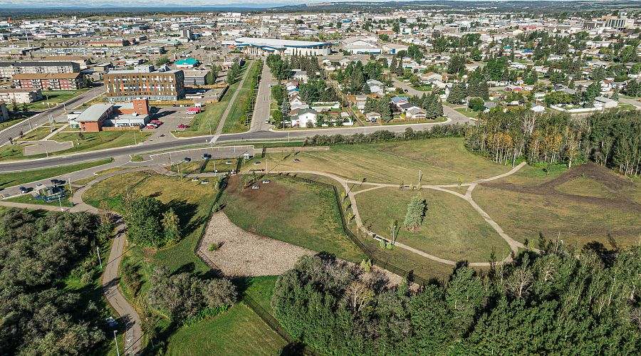
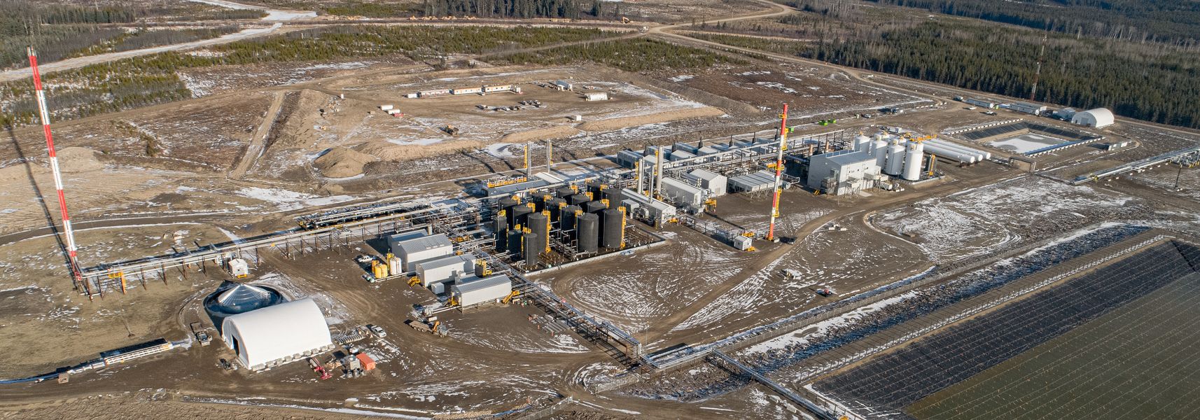
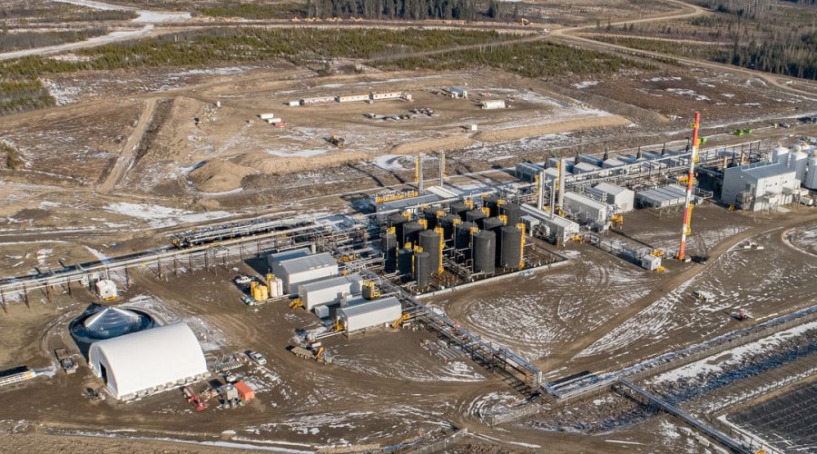
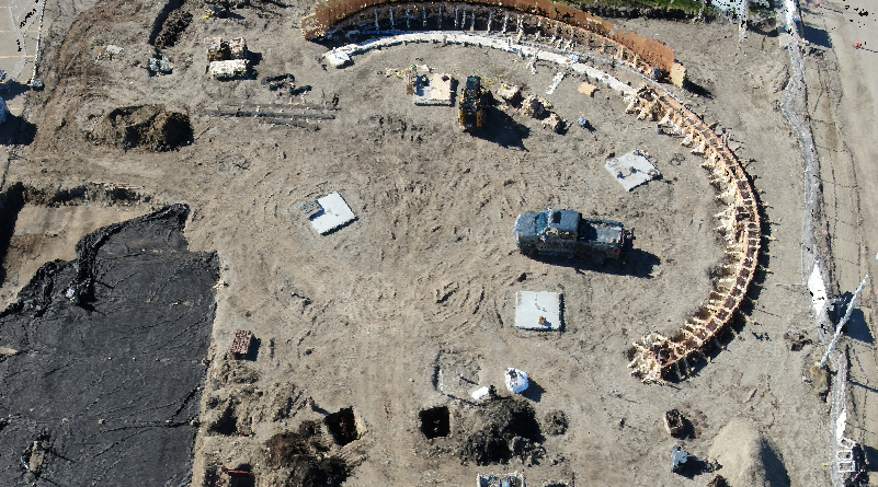
Aerial Photography & Video
Aerial photographs can be captured with a 20mp camera and video can be recorded at 4K 60fps.
Our skilled team cleans up any photographs and videos before they are returned to the customer.
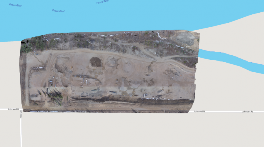
Orthomosaic Mapping
Infinity Drones offers orthomosaic mapping to capture locations in detail.
Our orthomosaic maps offer customers an up-to-date view of their location. These maps can also be used for progress photos and site progress comparisons.
The photos taken on site by the UAV coupled with our specialized software generally allow Infinity Drones to turn a map around in less than 24 hours depending on the size of area flown.
3D Modeling
Textured & Point Cloud
Infinity Drones is able to create 3D textured and 3D point cloud rendering of locations by pairing site photographs with advanced software.
3D textured renderings provide an accurate re-creation of the photographed area, and 3D point clouds allow for greater precision when inspecting an area. Each point is geo-referenced and our software is able to classify the points into five groups: ground, asphalt road surfaces, high vegetation, buildings, and human made objects.
3D textured and point cloud models can be viewed online as well as exported in popular file types. Models can generally be turned around in less than 24 hours depending on the size of area modelled.
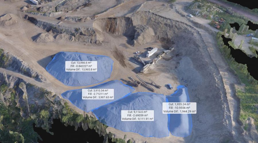
Volume Surveys
Determine stockpile volumes at a fraction of the time and cost of traditional survey methods with Infinity Drones.
We are able to provide volume calculations not only on stockpiles with boundaries that are entirely visible, but also on stockpiles with boundaries that are only partially visible. Volume calculations can be completed and returned to customers in under 24 hours
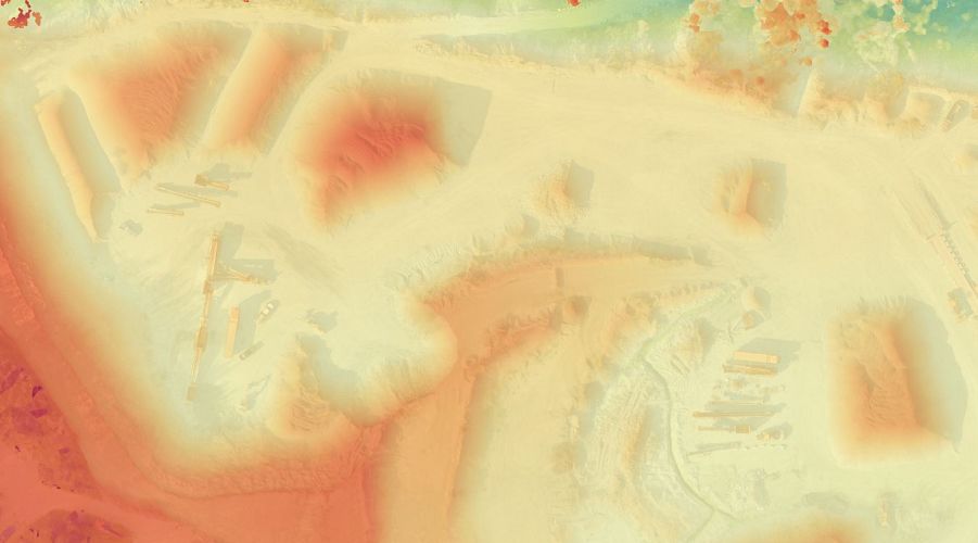
DSM & DTM
Digital Surface Models & Digital Terrain Models
Infinity Drones is able to create the DSM and DTM of an area by utilizing 3D models of a particular site.
DSM’s allow for ground elevation with above-ground objects, while DTM’s filter out the above-ground objects and give elevation data for the surface only. These models are ready to be exported to your prefered GIS workflow.
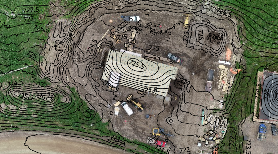
Contour Mapping
Created from the DTM, contour mapping allows for a simplified representation of the topography complete with closed contours displaying the elevation.
In addition, elevations profiles can be created with a “cut-away” view of the elevation on any area of the map.
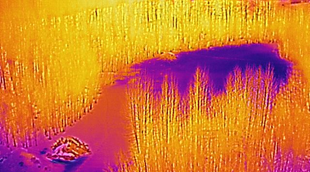
Thermal Imaging/Mapping
Infinity Drones is excited to offer thermal imaging and mapping solutions to our customers.
Our 640 x 512 30hs - 13mm thermal camera enables us to provide live, on-site thermal readouts. We are also able to provide thermal maps with a temperature value of each pixel.
Our UAV equipped with the thermal camera can be used for roof inspections, transmission/power line inspections, piping inspections, search and rescue, solar inspections and more.
Inspection Services
Infinity Drones offers a wide range of inspection services.
With specialty UAVs designed to withstand electromagnetic interference, we are able to offer power line and tower inspections. UAVs equipped with a thermal camera are able to inspect buildings for heat loss, assist fire crews with hotspot detection and provide real-time temperature readouts. We also offer cameras with 30x zoom which allows customers to see inspection items up close and in great detail while still staying a safe distance away.
From simple flyovers, to specialty services, we have your UAV inspection needs covered.